UN
59 New Hey Road
£ 110,000
Description
We don't have a Description for this property.
- Bedrooms
- 3
- Bathrooms
- 0
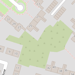
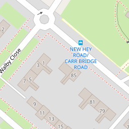
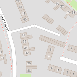
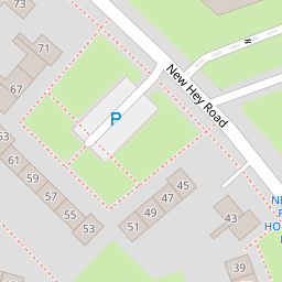
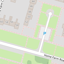
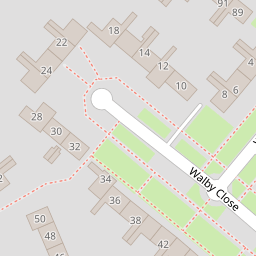
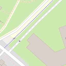
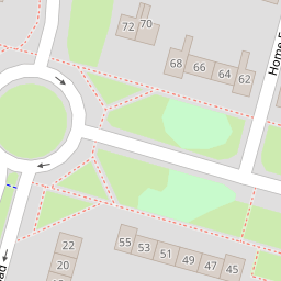

Leaflet © OpenStreetMap contributors
The heatmap indicates the level of crime in the area. The color of the heatmap indicates the crime severity and recency.
Metrics Year-on-Year
- Average area value
- 345,036.00 £Increased by 6.33 %
- Average area rental value
- 1,508.00 £/moIncreased by 6.72 %
- Est rental Yield
- 5.24 %Increased by 0.19 %
- Crime Rate
- 15.00 %Unchanged by 0.00 %
from 324,484.00 £
from 1,413.00 £/mo
from 5.23 %
from 15.00 %
Nearby Schools
| Name | Type | Ofsted | Distance |
|---|---|---|---|
| Foxfield School | Community Special School | Good | 0.12 KM |
| St Michael And All Angels Catholic Primary School | Voluntary Aided School | Good | 0.30 KM |
| Woodchurch High School | Academy Converter | Good | 0.35 KM |
| Ganneys Meadow Nursery School And Family Centre | Local Authority Nursery School | Outstanding | 0.83 KM |
| Ganneys Meadow Early Years Centre | Children's Centre Linked Site | 0.83 KM |
Images
Nearby Streets
| Name | Average Price | Average Sqft | Distance |
|---|---|---|---|
| Springfield Close | £ 155,000 | 0 | 0.00 KM |
| Olivia Close | £ 190,000 | 0 | 0.00 KM |
| Church Lane | £ 150,000 | 0 | 0.00 KM |
| Stretton Close | £ 250,000 | 0 | 0.00 KM |
| Coniston Avenue | £ 180,000 | 0 | 0.00 KM |
Nearby Transport
| Name | NLC | TLC | Distance |
|---|---|---|---|
| Upton (Merseyside) | 2141 | UPT | 1.79 KM |
| Bidston | 2136 | BID | 4.09 KM |
| Birkenhead North | 2145 | BKN | 4.12 KM |
| Leasowe | 2237 | LSW | 4.73 KM |
| Heswall | 2138 | HSW | 4.75 KM |
Nearby Listings
| Address | Price | Type | Score | Distance |
|---|---|---|---|---|
| New Hey Road, Woodchurch | £ 129,950 | BUY | 5 / 10 | 0.11 KM |
| Walby Close, Wirral, CH49 | £ 170,000 | BUY | Unknown | 0.20 KM |
| Walby Close, Wirral | £ 150,000 | BUY | Unknown | 0.20 KM |
| New Hey Road, Wirral, Merseyside, CH49 | £ 130,000 | BUY | 5 / 10 | 0.29 KM |
| New Hey Road, Woodchurch, Wirral | £ 110,000 | BUY | 5 / 10 | 0.30 KM |
Nearby Properties
| Address | Price | Distance |
|---|---|---|
| 77 New Hey Road | £ 95,950 | 0.00 KM |
| 71 New Hey Road | £ 111,100 | 0.00 KM |
| 87 New Hey Road | £ 130,000 | 0.00 KM |
| 63 New Hey Road | £ 85,000 | 0.00 KM |
| 75 New Hey Road | £ 109,000 | 0.00 KM |